
A ‘ChatGPT’ For Satellite Photos Already Exists
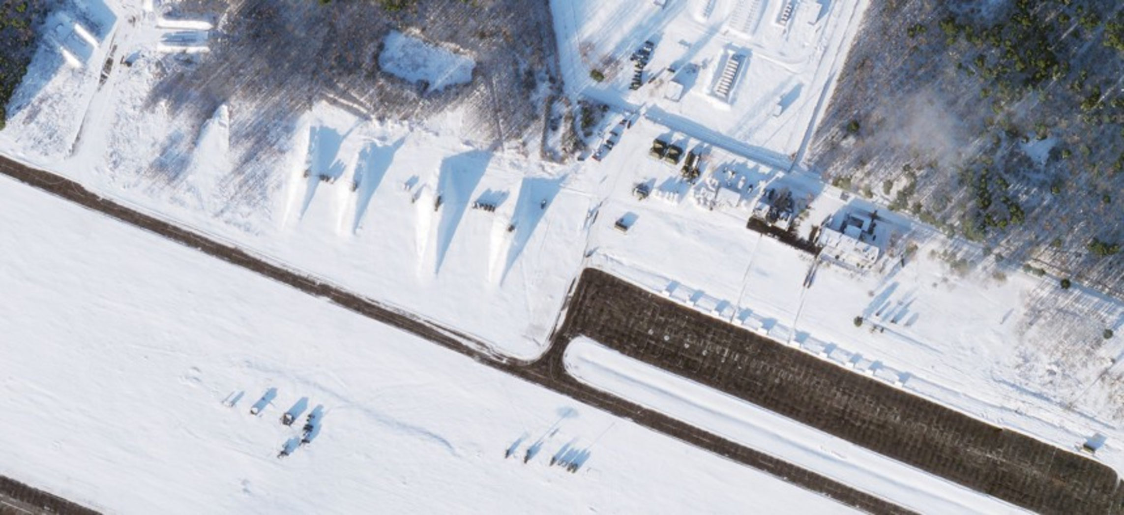
What would have taken the collective and sustained efforts of human, signals, and open-source intelligence to detect an adversary’s new drone, ship, or aircraft before, may become a simple search query through generative artificial intelligence.
United States-based AI solutions company Synthetaic has developed a tool, called Rapid Automatic Image Categorization, which uses generative AI to scan satellite images and search for specific objects. Its CEO, Corey Jaskolski, claims that the system was efficient enough to track even the Chinese surveillance balloon of February 2023 back to its origins in China ‘in just a matter of days.’ While not straightforward because of a relative lack of surveillance balloon images in the system’s training data, the feat may represent an advancement in geospatial intelligence using generative AI.